About Us


Conservation Sudbury is one of Ontario’s 36 community-based, watershed stewardship agencies.
Conservation Authorities are nonprofit organizations legislated under the Conservation Authorities Act, 1946. Conservation Sudbury works in partnership with the Province of Ontario through the Ministry of the Environment, Conservation and Parks and its member municipality, the City of Greater Sudbury.
The Nickel District Conservation Authority (Conservation Sudbury) was established in June 1973. As a result of the amalgamation and expansion of two former Conservation Authorities, the Junction Creek Conservation Authority, and the Whitson Valley Conservation Authority. Conservation Sudbury is responsible for managing a total watershed area of approximately 9,150 square kilometers.
The watershed area includes:
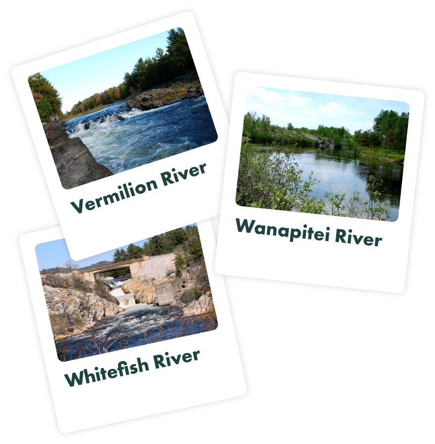
- The Vermilion River and all its tributaries,
- The part of the Wanapitei River lying upstream of its confluence with Elbow Creek to the most northerly portion,
- A portion of the watershed of the Whitefish River upstream of the outlet of Round Lake.
Conservation Sudbury’s responsibilities include:
- Flood monitoring and control
- Hazard land management
- Environmental education
- Drinking water source protection
- Watershed stewardship and much more
Strategic Plan
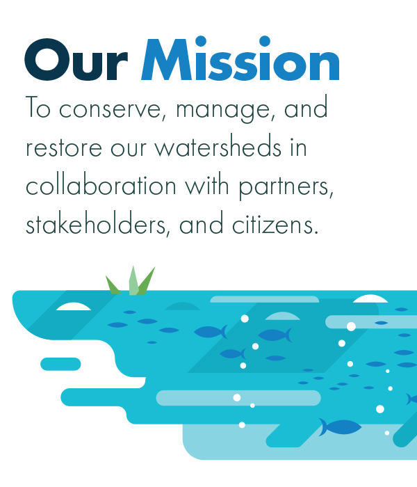
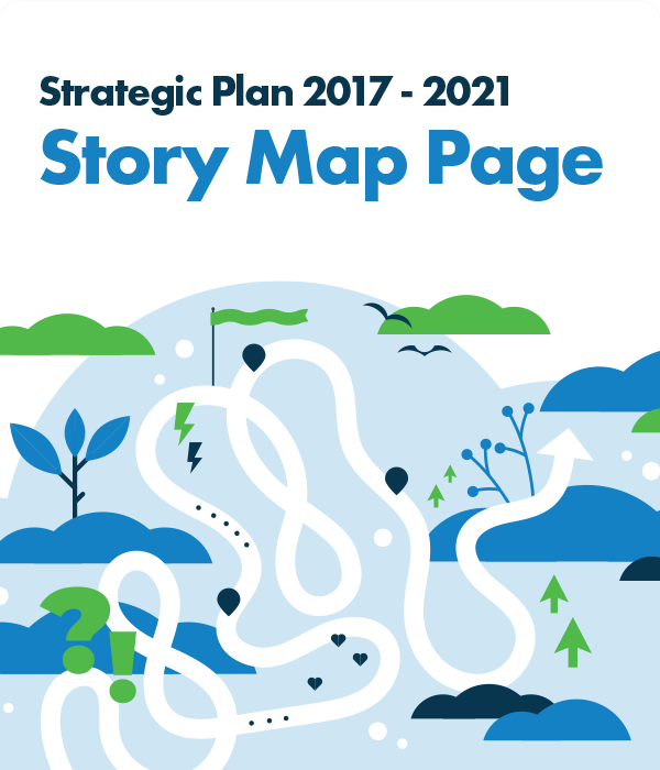
In 2017 Conservation Sudbury released a strategic plan that establishes our vision, mission, and values as the framework for future activities with over-arching strategic directions.